

By accepting you will be accessing a service provided by a third-party external to http://www.outdoorqrp.org/
Latest Comments
Версия 1.03
Исправление почтового адреса дипломного мен...
Version 1.03
Minor corrections concerning e-mail address of award manager and payment ways...
Станислав, у Вас на wwff.co есть 34 RFF-референции.
Так как у ...
Comments
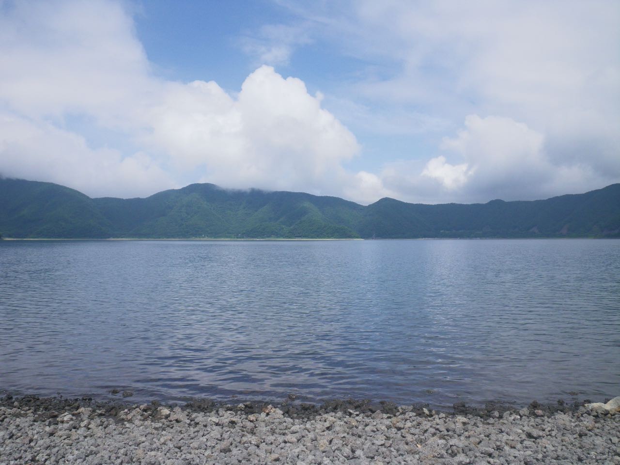
Thank you Yoshio for giving us a lovely lake to look at.
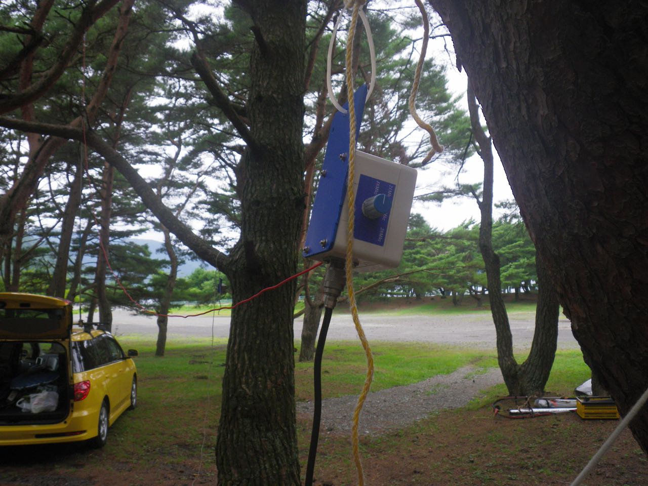
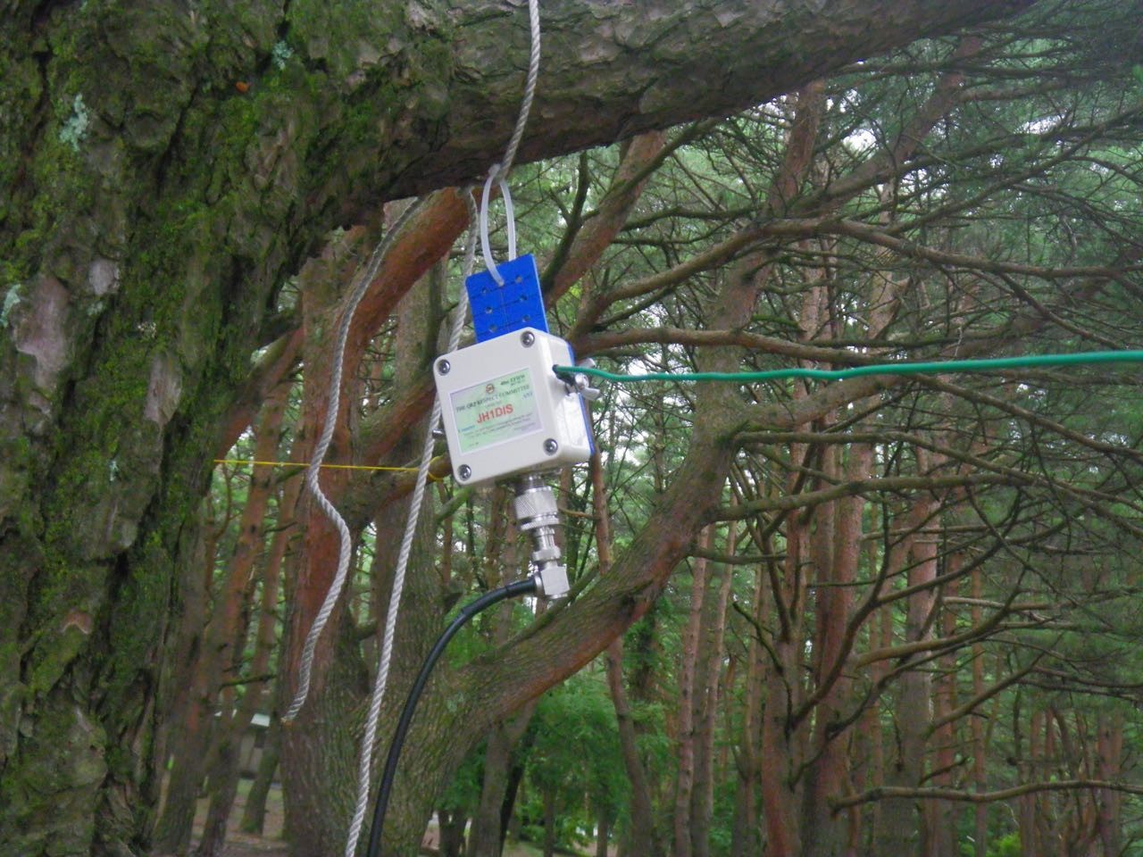
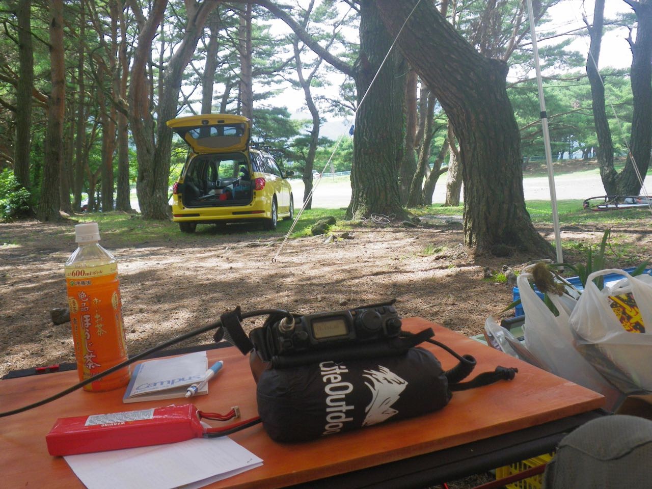
Good too see an EFHW too; that is what I used for my latest contact. (I have also used an EFHW suspended from a kite.)
One more thing... I think 138.600683 is the longest longitude I have seen!
73
Hello Matthew thanks.
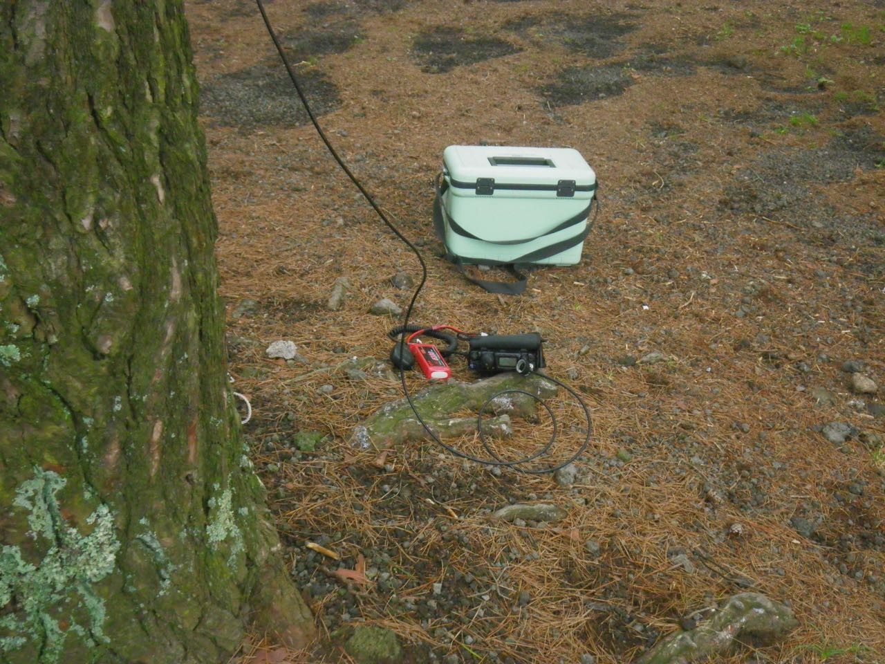
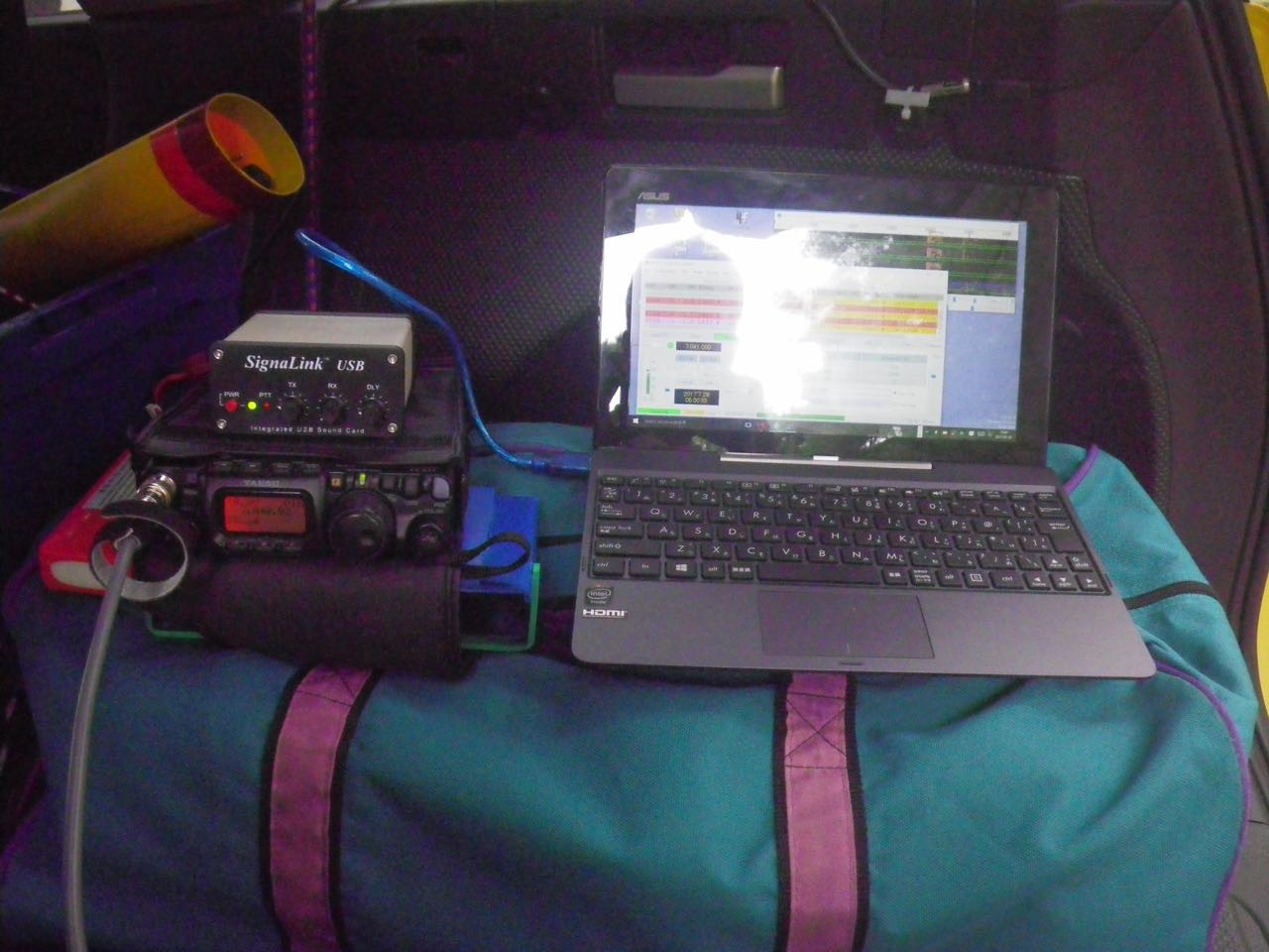
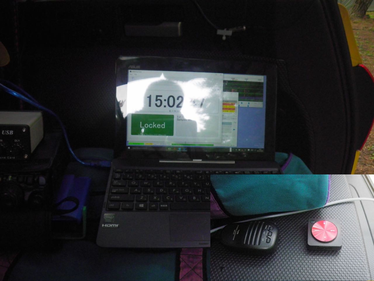
The QSO report of 40 m EFHW was all 59 and -01. (Mode SSB and JT 65)
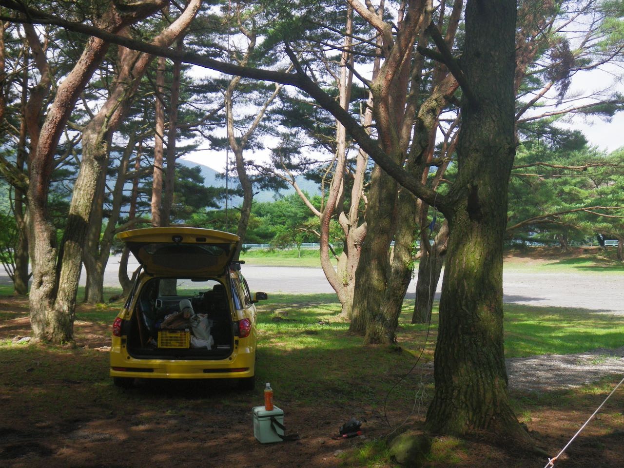
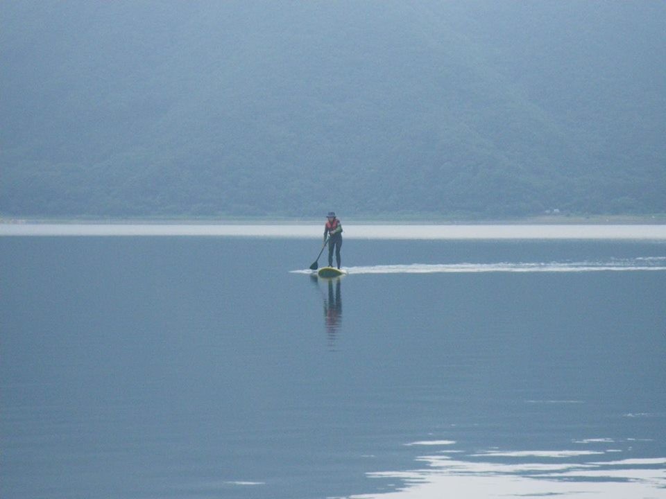
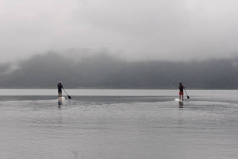
Lake Motosu is a lake at the foot of Mount Fuji. It is a camp here every year.. then wind surf and Ham radio. Added photos of the lake.
Marker: 35° 27' 32'' N 138° 36' 2'' E PM95hl (0 hams)
Map
https://goo.gl/maps/69v3duKMpz42
Yoshio /JHDIS 73